
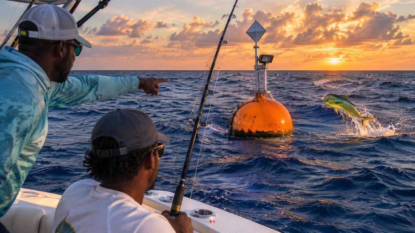
Six FADs. All year. Within reach of a harbour.
A fish-aggregating device is a float on a very long rope. Pelagic fish gather under anything that casts a shadow in deep water, and a buoy that stays put gives fishers a mark they can run to instead of a guess. The AUTEC range buoy did this for Nassau for years. This programme puts six back, built to stay, checked every month.
The AUTEC buoy, on purpose.
For years the AUTEC range buoy in the Tongue of the Ocean was the offshore mark for Nassau. Small boats could run to it in under an hour and reliably find yellowfin and blackfin tuna, wahoo, mahi and skipjack holding under it. The buoy was moved, and that fishery lost its focus.
A moored FAD does exactly what that buoy did by accident, on purpose. It concentrates pelagic fish at a known position, cuts fuel and search time for small boats, makes them safer because they fish a fixed, lit, charted spot, and moves effort from pressured reef fish to migratory pelagics.
Barbados, Dominica, Martinique, St Kitts, Hawaii and the Pacific islands all run anchored FAD programmes. The Caribbean Regional Fisheries Mechanism, of which The Bahamas is a member, has a management plan for the anchored FAD fishery ready to adopt.
Built to stay: the inverse catenary.
The design Hawaii, the Pacific and the Eastern Caribbean settled on after thirty years of losing cheaper ones. A nylon upper section stretches and absorbs the load; a polypropylene lower section floats clear of the seabed so nothing chafes. Design basis: the SPC Handbook 24 Hawaii design and the CRFM FAD manual. Hawaii's buoys average 31 months on station.
| Element | Specification |
|---|---|
| Buoy | Two foam-filled floats, about 600 kg buoyancy, mast, radar reflector, flag and solar LED light: visible, lit and legal as a navigation mark |
| Top chain | 15 m of 16 mm galvanised chain, forged swivel, safety shackles; top hardware sits 15 m below the surface, out of the wave action |
| Upper rope | Nylon, 20 mm, 0.45 × depth (450 m at 1,000 m): the elastic section |
| Lower rope | Polypropylene, 24 mm, 0.80 × depth (800 m at 1,000 m): floats, never touches bottom |
| Bottom chain | 45 m of chain at the anchor: chafe protection and counterweight |
| Anchor | 1 cubic yard reinforced concrete block, about 1,850 kg, cast by Hammerhead |
| Attractors | Netting strips and shade cloth on the upper 20 m, renewed at inspections: they bring the baitfish that bring the pelagics |
| Safety factor | At least 3 on every rope and fitting; total rope about 1.2 × depth |
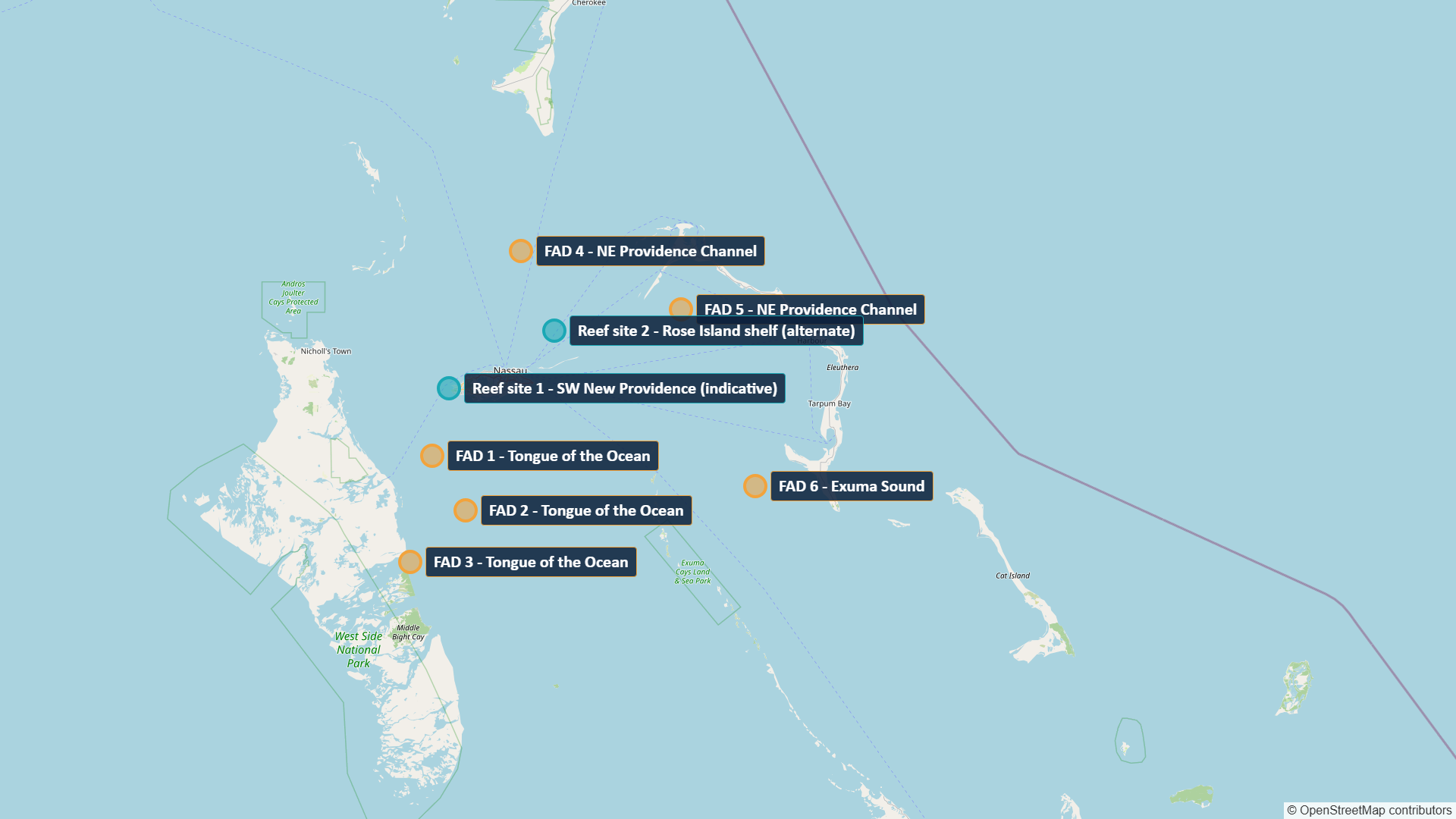
Three in the Tongue of the Ocean, two in the Channel, one in Exuma Sound.
All in 800 to 1,500 m of water, 5 to 12 miles out on the drop-off where the current runs, at least five miles apart, and within an hour of a harbour for a 20 ft boat.
| FAD | Water | Position | Depth |
|---|---|---|---|
| FAD 1 | Tongue of the Ocean | 24°48′N 77°37′W | 1,000 m |
| FAD 2 | Tongue of the Ocean | 24°37′N 77°30′W | 1,000 m |
| FAD 3 | Tongue of the Ocean | 24°27′N 77°42′W | 1,000 m |
| FAD 4 | NE Providence Channel | 25°28′N 77°18′W | 800 m |
| FAD 5 | NE Providence Channel | 25°17′N 76°43′W | 800 m |
| FAD 6 | Exuma Sound | 24°42′N 76°27′W | 1,000 m |
Positions are indicative. Final positions follow the hydrographic sounding, the fisher workshops and Department of Marine Resources approval, and are published here and in the Notice to Mariners. Every buoy carries a painted number, a light and a radar reflector.
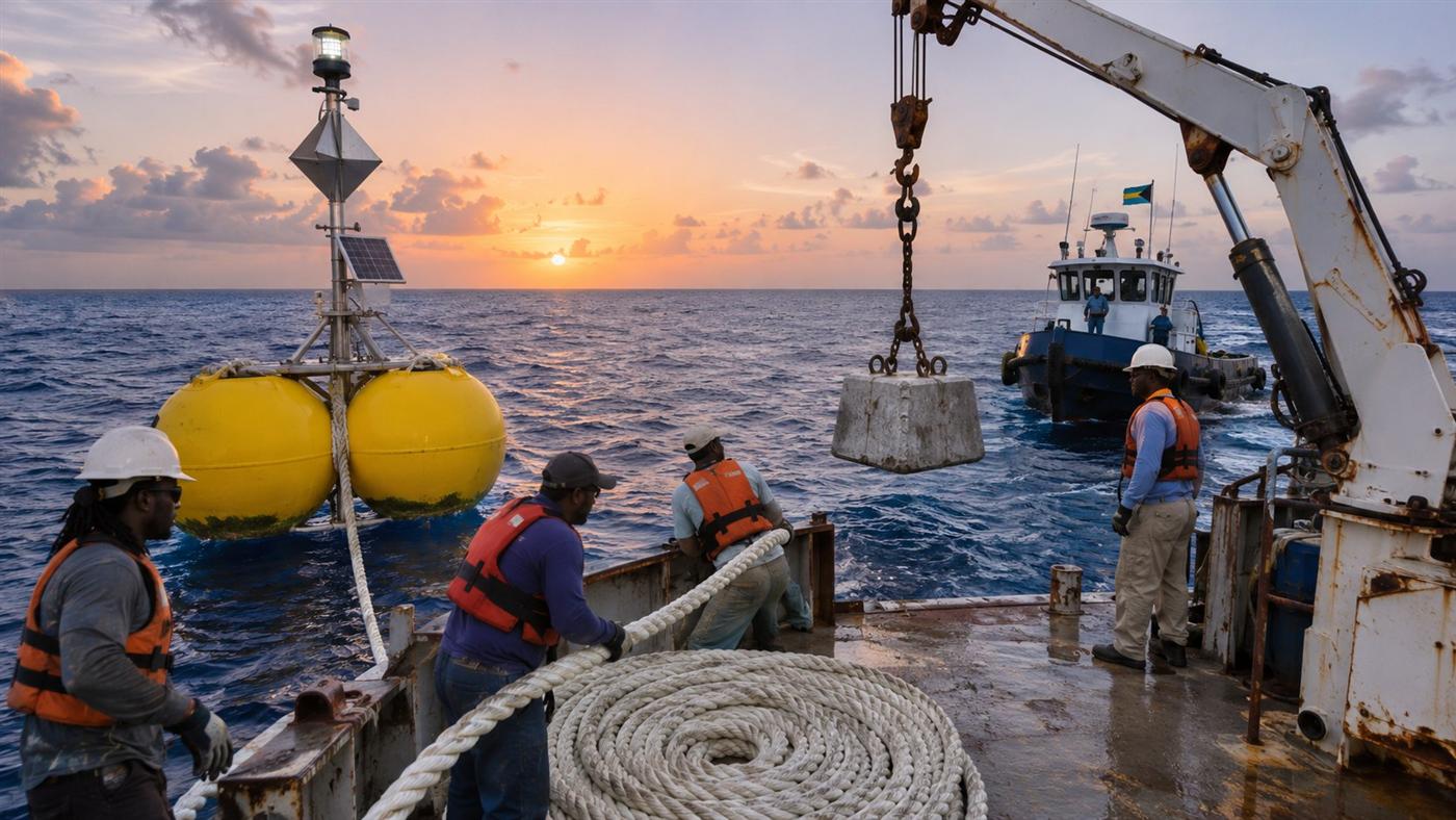
Anchor last, at dawn, in flat calm.
Sound the site
The depth is measured on the day, not taken from a chart. Wrong depth is the commonest reason a FAD is lost.
Buoy over
The surface buoy goes over the side first and streams downwind from the barge.
Pay out the mooring
Nylon, then polypropylene, paid out down-current in one continuous length with the bottom chain made up.
Anchor last
The concrete block goes over the side on the mark and takes the whole line to the bottom in one pull. Twenty minutes a FAD.
Fix and publish
GPS position logged, registered with the Department of Marine Resources, Notice to Mariners issued, position published to the fishers the same week.
Agreed with the fishers before the first buoy goes in.
A FAD that is fished out or cut loose helps nobody. The CRFM regional model is simple, and it works where it is adopted before deployment rather than after the first argument:
- Hook-and-line and trolling only at the buoys.
- No nets within one mile.
- No tying up to the buoy for long periods; no mooring boats on it overnight.
- Catch reporting, so the data shows what the line is doing.
- Each buoy registered with the Department of Marine Resources, numbered, lit and published.
Site-selection workshops with the fishing co-ops come first. The positions, the rules and the catch feedback are shared with the people who use the line.
Checked monthly. Replaced within weeks.
Losses come from storms, vessel strike, vandalism and hardware fatigue. Caribbean programmes budget one to three years on station; Hawaii averages 31 months. The programme plans for it rather than being surprised by it.
- Our own boat runs the line monthly: light, reflector, floats, chafe gear, attractors.
- Two full inspections a year with attractor and light renewal.
- A 30 percent a year loss provision and spares on the shelf, so a lost FAD is back within weeks, not the next budget year.
- One subsurface trial unit alongside: the Cape Eleuthera Institute set two steel buoys 10 m below the surface in 600 m of water in Exuma Sound in 2017 and found them intact 18 months later. It cannot be seen, lit or vandalised, and is found by GPS.
Things people ask about the FADs.
Why not buy ready-made FAD buoys?
The mooring is 60 to 70 percent of the cost and is commodity rope, chain and forged hardware whichever way it is sourced. Turnkey buoys cost more and still need the same mooring. We self-build to a written specification, buy the rope in full lengths from one supplier and keep spares.
Will they get stolen or cut?
Some will. Every programme loses FADs; that is why there is a loss provision, spares and a monthly check. Rules agreed with the co-ops before deployment are what keep losses low. The subsurface trial unit is the answer where it keeps happening.
Are they a hazard to shipping?
They are lit, carry a radar reflector, are charted through a Notice to Mariners, and are placed outside the shipping lanes and the AUTEC range.
Who can fish them?
Anyone, under the rules: hook-and-line and trolling, no nets within a mile, no tying up. Tournaments are welcome.
Why 1,000 m and not deeper?
Pelagic fish hold on the drop-off where the current runs, not in the abyss. Rope cost rises in a straight line with depth. 800 to 1,500 m is tuna, wahoo and mahi water a 20 ft boat can reach.
How many FADs is enough?
Six in Phase 1 covers the three deep-water bodies within an hour of Nassau, Eleuthera and Exuma. The schedule of rates lets Government add FADs island by island.
Fish the FADs, or help place them.
Co-ops, charter captains and tournament organisers: the workshops come first.